๐Ÿ‡ฎ๐Ÿ‡ณ Made in India ยท ๐ŸŒ 40+ Languages ยท ๐Ÿค– AI-First Technology ยท ๐Ÿ“ GeoTagging

GPS MAP CLICK โ€” Geo Tagging Camera

Click Capture Locate

Every photo becomes a GPS-stamped, legally credible document โ€” with live coordinates, full address, weather, map thumbnail, and your brand logo burned in permanently.

Perfect for construction, government surveys, delivery proof, inspections, travel memories, and field workforce management.

300+Active Users
4โ€“5โ˜…Featured reviews
0Languages
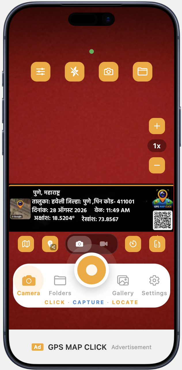
GPS MAP CLICK App Screenshot
Scroll to explore

Trusted Across Every Industry

Construction
Government
Delivery
Survey Teams
Real Estate
Field Engineers
Agriculture
Logistics
Construction
Government
Delivery
Survey Teams
Real Estate
Field Engineers
Agriculture
Logistics
GPS MAP CLICK BUSINESS
Built for field teams

GPS MAP CLICK BUSINESS Features

Give field employees practical tools to document work, while admins get plan-dependent ways to coordinate and review activity.

View Business Plans
Starter

Make each field photo count.

A dependable starting point for organized field-photo documentation.

  • Photos stamped with GPS location, date, time and QR code
  • Company branding on field photos
  • Employee and license management
  • Admin monitoring of field photos
Core

Coordinate the work in motion.

Tools for teams that need to coordinate visits, routes and day-to-day jobs.

  • Employee locations and work routes during active, permitted sessions
  • Attendance and visit records
  • Work orders with stamped photo evidence and document uploads
  • Reports and export
  • Messaging between admins and employees
Advanced

Shape a wider operation.

More control for teams with defined areas, delegated administration and tailored reporting needs.

  • Capture zones
  • Delegated user controls
  • Advanced reporting
  • Custom branding
In the field

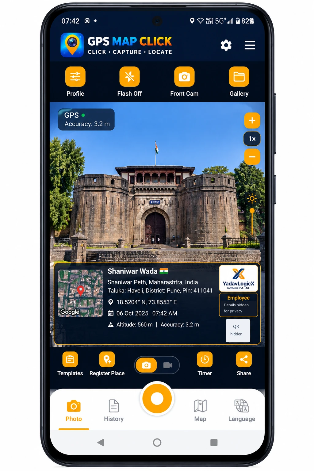
GPS MAP CLICK BUSINESS App Preview

See how field capture brings stamped photos, company branding and practical capture controls together in the employee app.

Employee name and QR details are hidden in this public preview.

GPS MAP CLICK BUSINESS mobile app preview showing a field photo with company branding and capture controls; employee name and QR details hidden
Mobile field-capture preview View full size
The admin workspace

A clearer view of company activity.

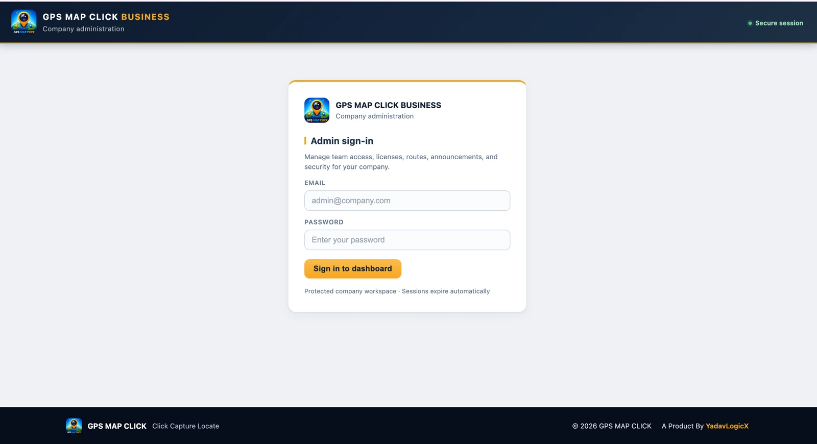
Sign in to a dedicated company workspace, then review the tools available to your team.

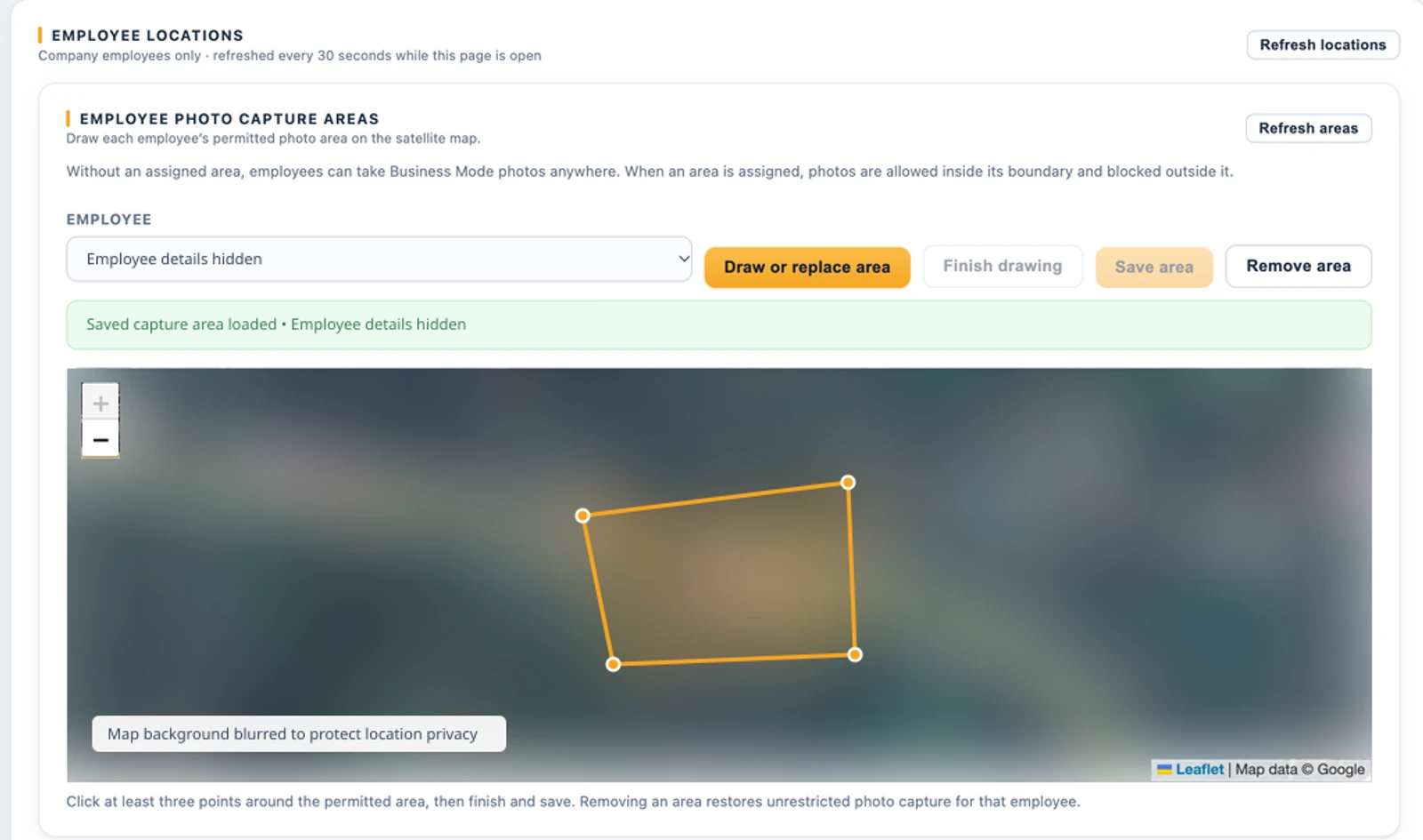
Business Admin employee photo capture area editor with an assigned polygon boundary; employee identity hidden and map background blurred for privacy
Employee Photo Capture Zone Assign a permitted photo area on the map. With an assigned zone, capture is allowed inside its boundary and blocked outside. Without an assigned area, capture is unrestricted. Zone controls are available with Advanced or an agreed Custom plan. Open full-size screenshot

Private details are hidden in these screenshots. The capture-zone map background is blurred for location privacy. Available tools depend on your company plan.

Feature availability depends on your company plan. Location and route features apply during active, permitted sessions; they are not continuous 24/7 tracking. GPS and photo records can vary with device, settings and conditions.

GPS MAP CLICK BUSINESS Pricing

Simple seat-based pricing for field teams. Choose the number of User Licenses you need and scale your business as your team grows.

1:1
1 Seat = 1 User License

Each User License allows one authorized field user to access GPS MAP CLICK Business.

Example: 15 User Licenses = Up to 15 authorized field users.
Billing period
Flexible month-to-month billing
Right-size your rollout

How many field users do you have?

Get a plan recommendation without starting a purchase.

Simple by design

How licensing works

01
โ—ˆ

Choose Licenses

Select the number of User Licenses your team needs.

02
โŠ•

Assign Employees

Admin assigns licenses to authorized field employees.

03
โ—Ž

Manage Field Work

Employees capture GPS-tagged photos and the admin manages field activity.

Questions, answered

Business licensing FAQ

What is a User License?

One User License provides access for one authorized field user.

Can I add more users later?

Yes. Upgrade your plan as your team grows.

What happens when all licenses are assigned?

You can upgrade your plan or contact our Sales Team.

Can I reassign a license?

Yes. Admins can deactivate a user and assign the available license to another authorized employee.

Do you support 30+ users?

Yes. Contact our Sales Team for an Enterprise plan.

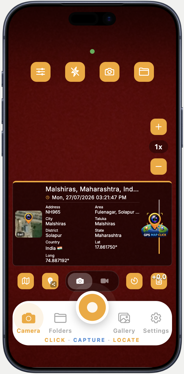
GPS Stamp Anatomy

Every Element. Explained.

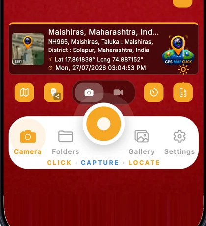
The GPS stamp is burned permanently onto every photo. Here is exactly what each element means and where it comes from.

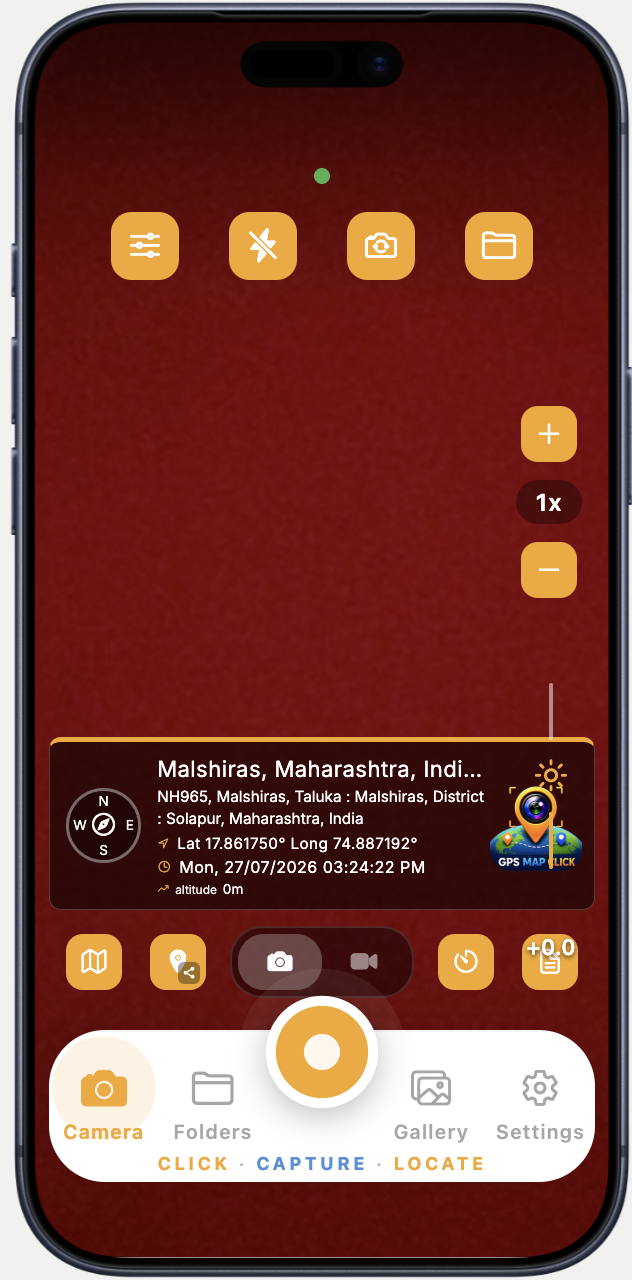
โ‘  GPS Active Dot
Green = GPS locked. Blinks while acquiring signal.
โ‘ก Quick Controls
Stamp settings ยท Flash ยท Camera mode ยท Folders
โ‘ข Stamp Frame
Orange border = GPS is active & stamp is live
โ‘ฃ Location Name
Nearest village / town auto-resolved from GPS
โ‘ค Full Address
Road ยท Taluka ยท District ยท State ยท PIN โ€” 40 languages
โ‘ฅ Zoom Controls
+/โˆ’ zoom, 1ร— reset โ€” right-thumb reach
โ‘ฆ GPS Coordinates
Lat 17.861838ยฐ Long 74.887152ยฐ โ€” 6-decimal precision
โ‘ง Date & Time
Exact capture moment ยท 12h/24h ยท localized
โ‘จ Mini Map
Satellite ยท terrain ยท hybrid ยท street โ€” 4 styles
GPS MAP CLICK โ€” every element explained
9 Custom Templates
Top / Bottom Position
6 Background Colours
10 Font Styles
40 Languages
Adjustable Opacity
Devanagari Numerals
Custom Hashtags
Stamp Templates

9 Templates. One Tap to Switch.

Every template burns the same verified GPS data โ€” just in a layout that fits your workflow. Switch instantly from the stamp settings screen.

Live Camera Preview โ€” Stamp on screen before you shoot
Clock template
โฑ Clock Template
Massive live time display dominates the stamp โ€” ideal when time-of-entry is the most critical field proof.
HH:MM:SS Live clock Map thumb
Compass template
๐Ÿงญ Compass Template
Compass rose replaces map thumbnail โ€” shows heading direction with full address, coords, altitude and timestamp.
N/S/E/W heading Altitude No map needed
Data grid template
๐Ÿ“‹ Data Grid Template
Every field broken into labelled cells โ€” Address, Area, City, Taluka, District, State, Country, Lat, Long โ€” nothing missed.
Labelled fields Two columns Survey-ready
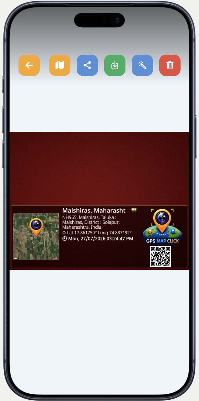
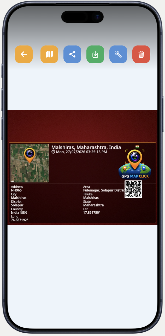
Saved Photo Stamps โ€” Burned permanently into your gallery
Compact saved stamp
๐Ÿ“Œ Compact Stamp
Single-row stamp at the bottom of the photo โ€” satellite map, full address, coords, timestamp, company logo, and a scannable QR code linking back to the exact GPS location.
Satellite map QR code Company logo Compact
Wide saved stamp
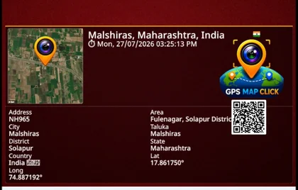
๐Ÿ“Š Full Detail Stamp
Wide stamp with a header (location + time) and a full data-grid below โ€” Address, Area, City, Taluka, District, State, Country, Lat, Long โ€” every field labelled and court-ready.
Satellite map QR code Labelled grid Court-ready
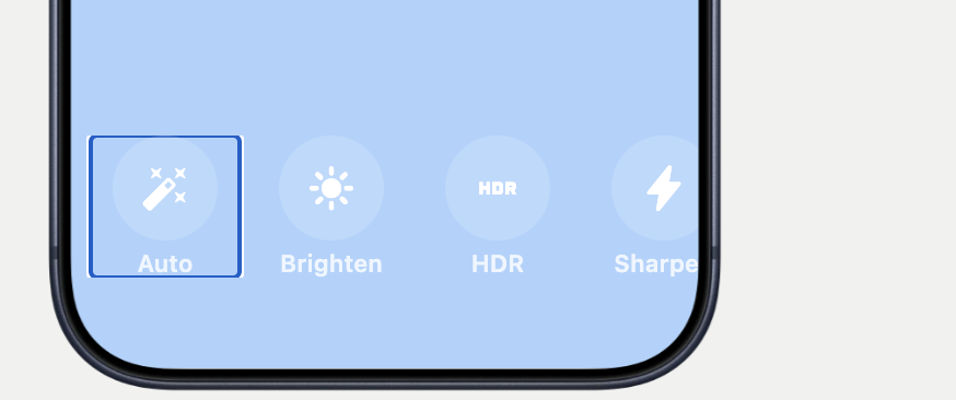
โœฆ Image Enhancement โ€” One-tap filters applied after capture
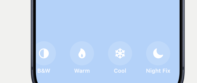
Auto, Brighten, HDR, Sharpen filters B&W, Warm, Cool, Night Fix filters
โœจ
Auto
AI-balances exposure & colour in one tap
โ˜€๏ธ
Brighten
Lifts shadows & raises overall brightness
HDR
HDR
Merges highlights & shadows for depth
๐Ÿ”ช
Sharpen
Crispens edges for stamp text legibility
โ—‘
B&W
Monochrome conversion โ€” formal reports
๐Ÿ”ฅ
Warm
Adds golden tone for indoor / low-light shots
โ„๏ธ
Cool
Blue-shift for overcast outdoor clarity
๐ŸŒ™
Night Fix
Brightens & denoises dark / night captures
Full Control

Customise Everything. Down to the Font Size.

Every detail of the stamp, export, and app experience is in your hands โ€” no hidden limits, no locked settings.

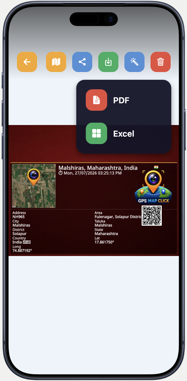
PDF and Excel export
๐Ÿ“„
PDF & Excel Export
One tap generates a full GPS report โ€” share as PDF or Excel straight from the gallery.
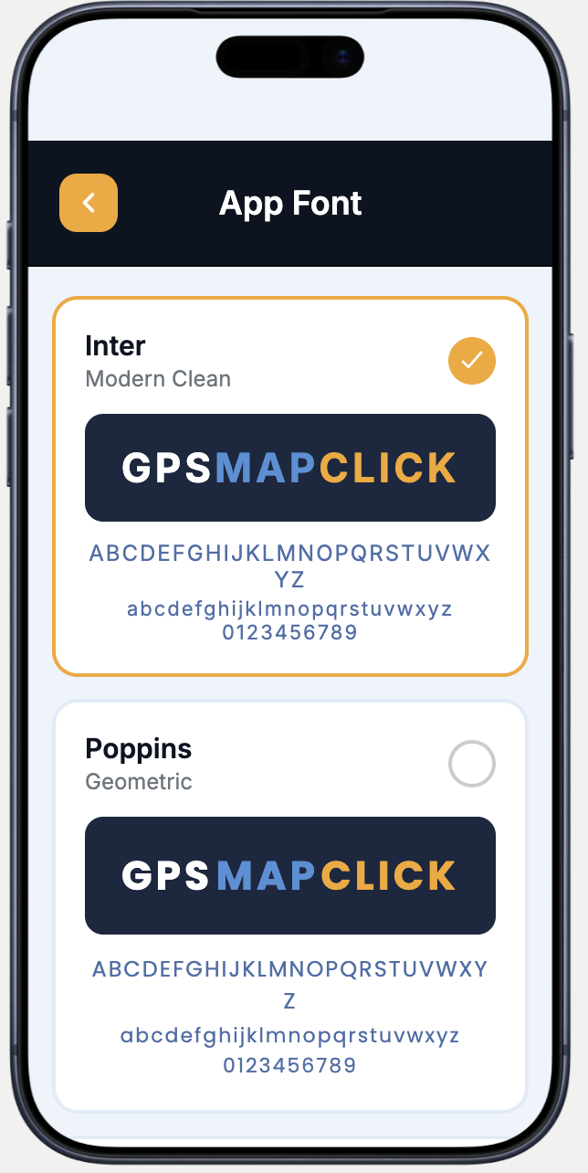
App font picker
๐Ÿ”ค
10 App Fonts
Inter, Poppins, Roboto and 7 more โ€” choose the typeface that fits your brand identity.
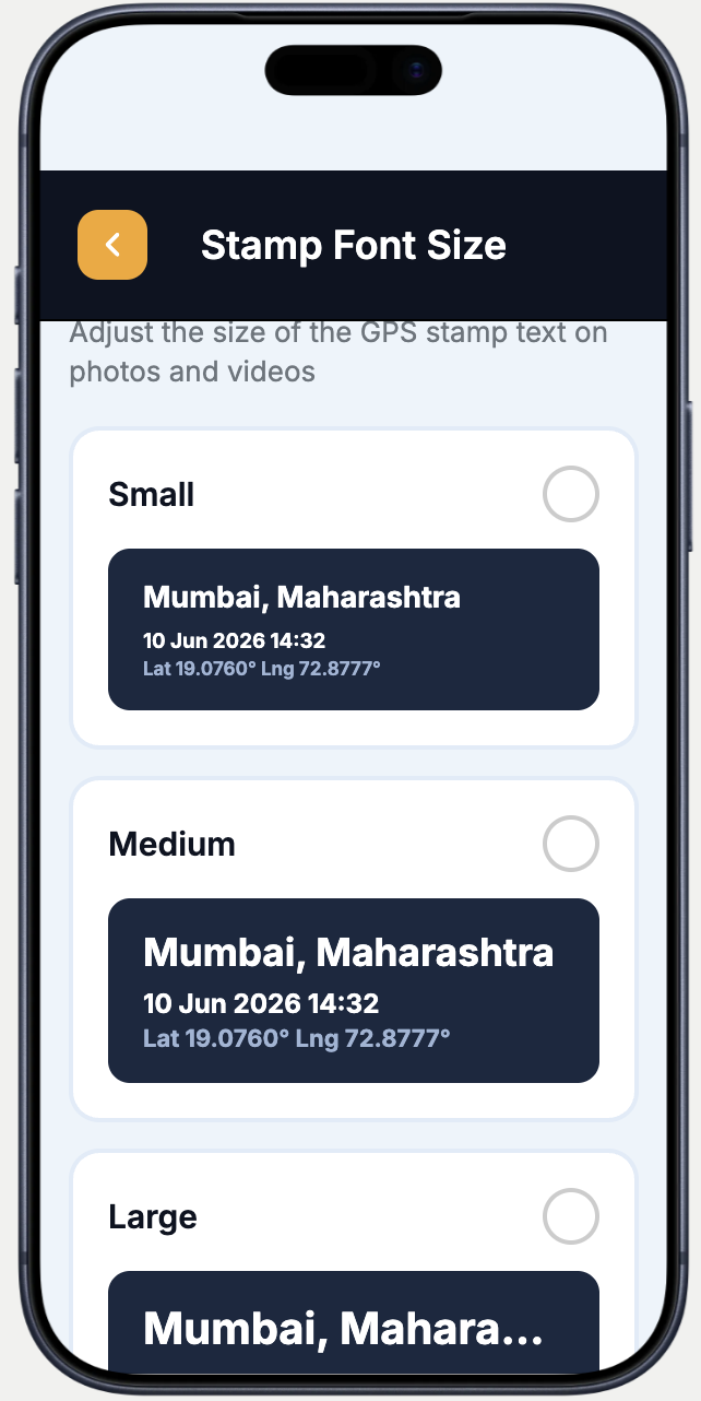
Stamp font size
๐Ÿ“
Stamp Font Size
Small, Medium or Large โ€” scale stamp text to suit print size and viewing distance.
40 languages
๐ŸŒ
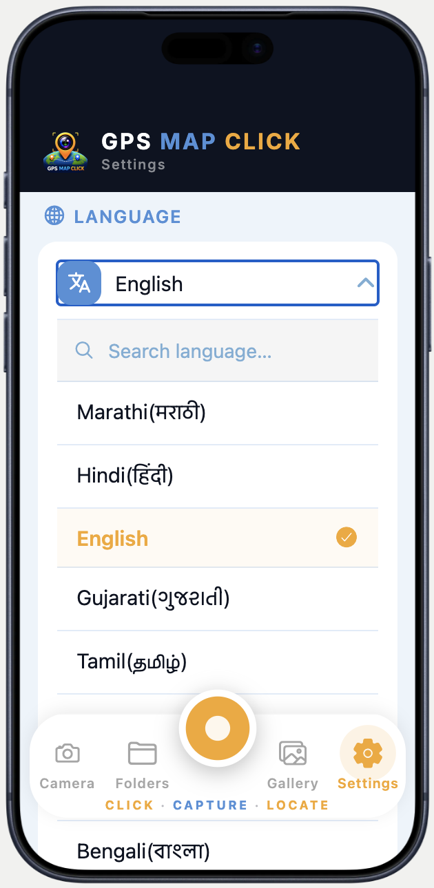
40 Languages
Marathi, Hindi, Gujarati, Tamil, Bengali and 35 more โ€” stamp text in your native language.
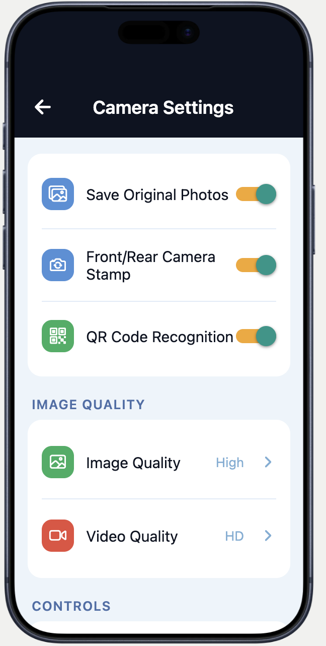
Camera settings
๐Ÿ“ท
Camera Settings
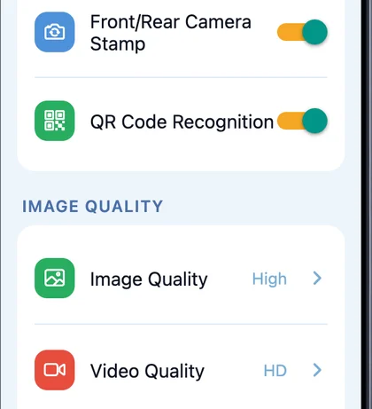
Save originals, front/rear stamp, QR code recognition, image quality (High) and video quality (HD).
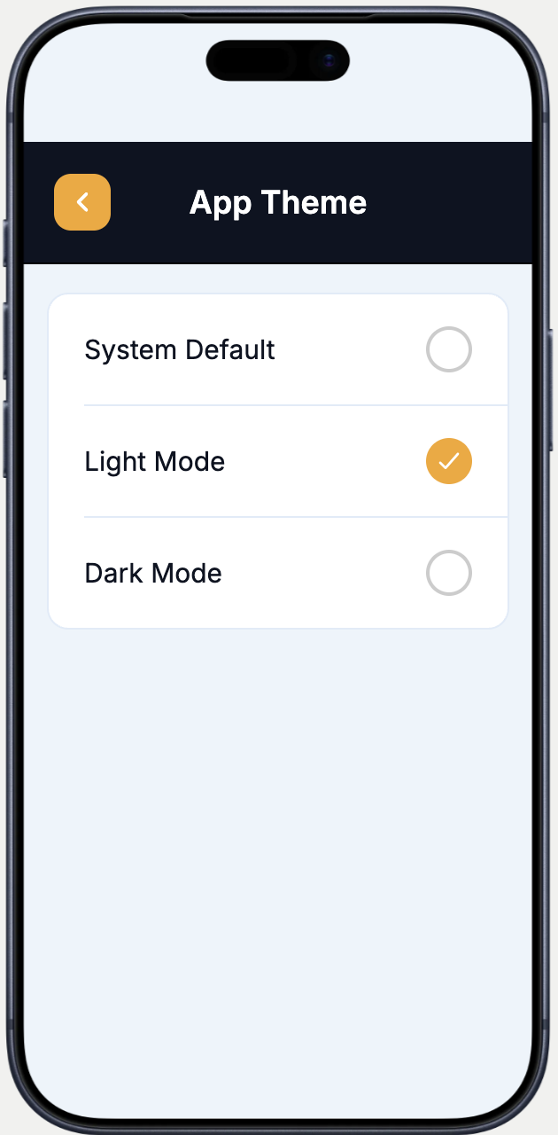
App theme
๐ŸŽจ
Light / Dark Theme
System Default, Light Mode or Dark Mode โ€” app follows your preference at any time of day.
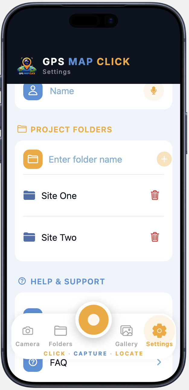
Project folders
๐Ÿ“
Project Folders
Create named folders (Site One, Site Twoโ€ฆ) and sort every captured photo by project automatically.
Email quick share
โœ‰๏ธ
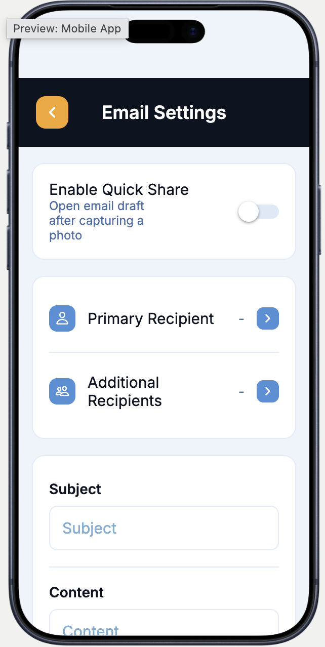
Email Quick Share
Pre-set recipients, subject and body โ€” opens a ready-to-send email draft instantly after every capture.
Core Features

Everything You Need for Field Proof

Powerful tools built for professionals who need verified, location-tagged documentation in the field.

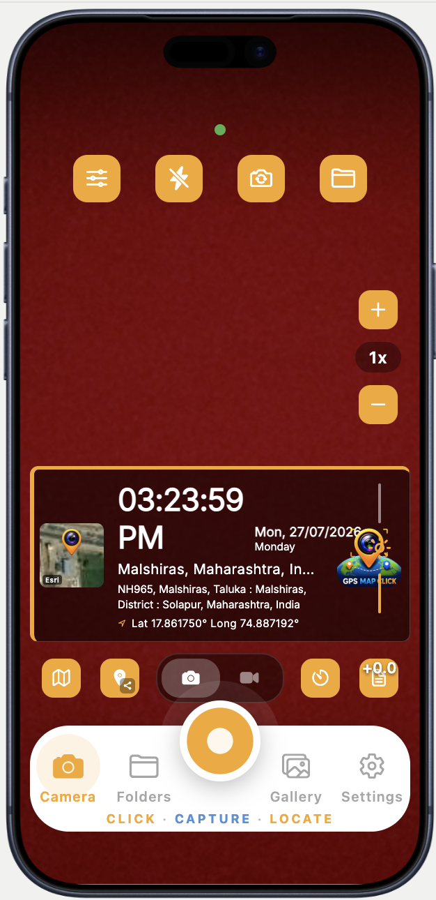
Actual app camera showing the GPS stamp and capture controls
GPS stamp & capture controls
01

Live GPS Camera

Capture photos with real-time GPS coordinates, date & time stamp, compass direction, weather, map thumbnail, and custom watermark โ€” burned in permanently.
  • Real-time GPS coordinates
  • Date & time stamp
  • Compass & altitude
  • Live weather data
  • Custom watermark & logo
Every image becomes location-verified proof.
02

GPS-Stamped Video

Actual camera settings showing image and video quality options
Image & video quality settings

Record up to 5-minute videos with live GPS overlays burned in via FFmpeg โ€” a first-of-its-kind feature for field documentation.

  • Up to 5 min recording
  • FFmpeg frame overlay
  • 4K / 1080p / 720p
03

4 Map View Types

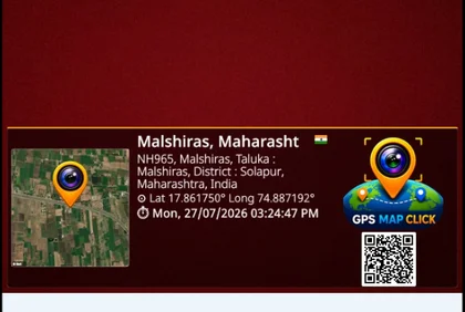
Saved GPS-stamped photo containing a map thumbnail and location details
Map thumbnail in a saved stamp

Switch between Satellite, Terrain, Hybrid, and Street map views on the stamp thumbnail. Manual position adjustment and Google Maps share links built in.

  • Satellite & terrain
  • Hybrid & street views
  • Google Maps share link
04

Offline GPS Mode

Example of a saved photo with its GPS location stamp
Example saved GPS-stamped photo

No internet? No problem. GPS stamping, tile caching, and photo capture all work offline. Syncs and geocodes when connectivity is restored.

Works Fully Offline
05

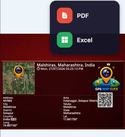
PDF & Excel Export

Actual app export menu with PDF and Excel options
PDF & Excel export menu

One-tap professional reports with geotagged photos, maps, timestamps, and project notes. Share as PDF or Excel โ€” ready for clients and auditors.

  • Photos & GPS details
  • Excel work reports
  • WhatsApp & email share
06

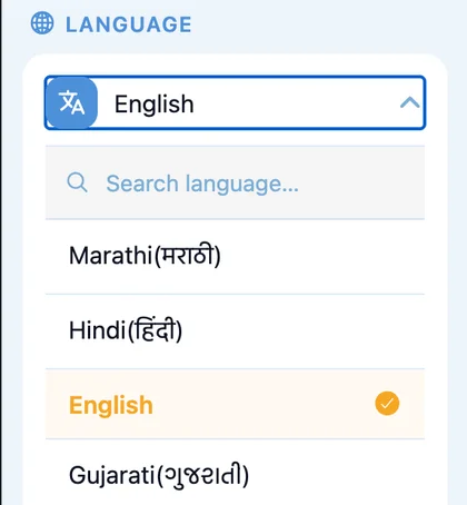
40 Languages

Actual app language selector with Indian language options
In-app language selector

Auto-detects your device language. 21 Indian languages including Hindi, Marathi, Tamil, Telugu, Bengali + 19 world languages with Devanagari numeral support.

๐ŸŒ 40 Languages
Industries

Built for Every Field Industry

From construction sites to government surveys, GPS MAP CLICK powers verified documentation across all sectors.

Engineer photographing building construction progress at a site

Construction & Infrastructure

Track site progress with geo-tagged photos and daily reports.

  • Site inspections
  • Material verification
  • Work progress tracking
  • Contractor reporting
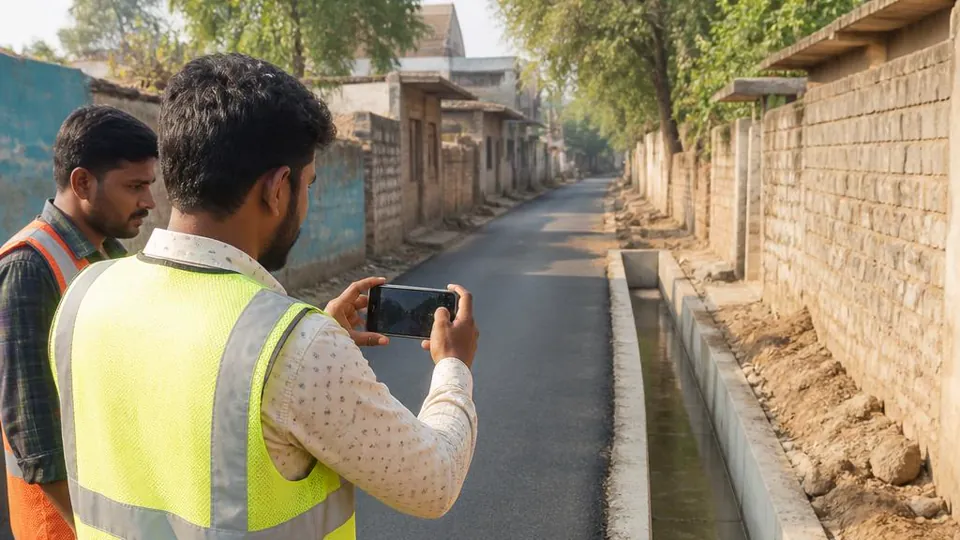
Field inspector photographing a village road and drainage project

Government & Panchayat

Maintain transparency with verified, GPS-stamped field photos.

  • Road surveys
  • Water & utility projects
  • Village inspections
  • Scheme verification
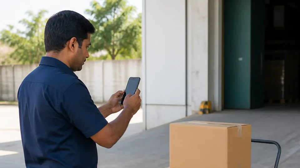
Delivery worker photographing unmarked parcels outside a warehouse

Delivery & Logistics

Capture proof of delivery with exact time and location stamp.

  • Reduce disputes
  • Verify delivery
  • Improve accountability
  • Client photo proof
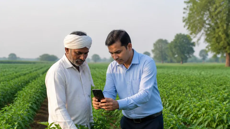
Farmer and agronomist examining a crop during a field survey

Agriculture & Surveys

Crop status, farm inspections, and land surveys with regional language stamps.

  • Field mapping
  • Crop inspection logs
  • Regional language stamp
  • Offline field use
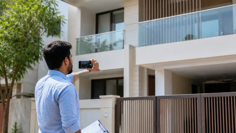
Property surveyor photographing a residential building

Real Estate

Property documentation and valuation visits with verifiable location proof.

  • Plot surveys
  • Site photography
  • GPS location proof
  • Client reports
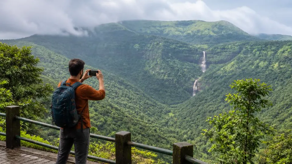
Traveler photographing a green mountain valley and waterfall

Travel & Adventure

Turn memories into location-rich experiences with GPS-stamped photos.

  • Location-tagged photos
  • GPS overlay stamps
  • 40 languages
  • Offline maps
Utility technician photographing secured electrical infrastructure from outside a safety barrier

Utilities & Inspection

Power line, pipeline and tower inspections with date-stamped field photos.

  • Grid inspections
  • Pipeline surveys
  • Compliance photos
  • Remote offline mode
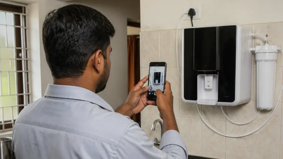
Technician photographing an installed water purifier after a service visit

Field Service Teams

Check-in/out stamps, attendance proof, service completion evidence.

  • Technician check-in
  • Work completion proof
  • Equipment inspection
  • PDF report share

AI-generated illustrative photosโ€”not actual customer projects or official endorsements.

Field scenarios

See what each visit can document.

Short visual examples of the details teams can capture in the field.

5 scenarios ยท 6 seconds each
01 / 0500:06

Insurance photo capture

Document a vehicleโ€™s visible condition, damage areas, and the location context of a claim visit.

02 / 0500:06

Police verification photo capture

Record a residence entrance, surrounding address details, and the time and place of a field visit.

03 / 0500:06

Farm verification photo capture

Show crop condition, the inspected plot, and field surroundings for an agricultural visit record.

04 / 0500:06

Logistics verification

Illustrates photographing parcels and a warehouse loading bay as part of logistics documentation.

05 / 0500:06

Government scheme verification

Document a project asset, visible site condition, and the location context of a scheme-related visit.

These AI-generated clips are illustrative examples only. They are not recordings of the actual GPS MAP CLICK app and do not represent endorsements by any insurer, police department, or government agency. No approval or acceptance outcome is implied.

Why Choose Us

Built for Real Field Work

GPS MAP CLICK is designed from the ground up for professionals who need reliable tools on the ground.

โœ“ Fast & lightweight โ€” no lag on field devices
โœ“ Accurate GPS with sub-metre precision
โœ“ Tamper-proof, legally credible photo stamps
โœ“ Easy report sharing via WhatsApp, Email & Drive
โœ“ Works fully online & offline
โœ“ 40 languages including all major Indian scripts
โœ“ GPS-stamped video โ€” first-of-its-kind
Get Started
96.9%
GPS Accuracy
40
Languages Supported
300+
Active Users
4โ€“5โ˜…
Featured review ratings
Reviews

What Our Users Say

Real reviews of GPS MAP CLICK โ€“ GPS CAMERA, with the original words and rating.

Download Now

Start Capturing Verified Photos Today

Join 300+ active users who use GPS MAP CLICK to capture and share location-stamped field photos.

๐Ÿ‡ฎ๐Ÿ‡ณ Made in India  ยท  Works offline
Enquiries

Talk to Our Team

Questions about GPS MAP CLICK, Business licenses, or your field team? Call or email us directly.